This trip in the fall of 2022 will lead me on a 14-day tour of northern Georgia, southern Tennessee and a slice of South Carolina.
[videojs_hls url=”https://d3as8i8c4awtvd.cloudfront.net/f00d7841-8904-4b8d-8e65-549654a77c88/AppleHLS1/230129-GEORGIA-HIKING-AWS.m3u8″ mp4=”https://d3as8i8c4awtvd.cloudfront.net/f00d7841-8904-4b8d-8e65-549654a77c88/FileGroup1/230129-GEORGIA-HIKING-AWS_Mp4_Avc_Aac_16x9_1920x1080p_24Hz_8.5Mbps_qvbr.mp4″ poster=”https://cargovanconversion.com/wp-content/uploads/2023/01/yt-thumbnail-1280-2.jpg” width=”1280″ preload=”none”]
Today I’m still covering a bit of terrain to get where I want to be, while taking a good hike and to have a look at a waterfall and swinging bridge.
Grassy Mountain Lookout Tower
I am at about a 4000ft elevation and starting early on a crisp October morning. The approach is mostly on a leaf covered, seldom used, single track forest access road, that leads all the way to the base of the former Grassy Mountain Lookout Tower.
The road has a constant, gradual incline and it takes me about an hour and fifteen minutes, to get to a flat area at the top of the mountain, where the fire tower is located.
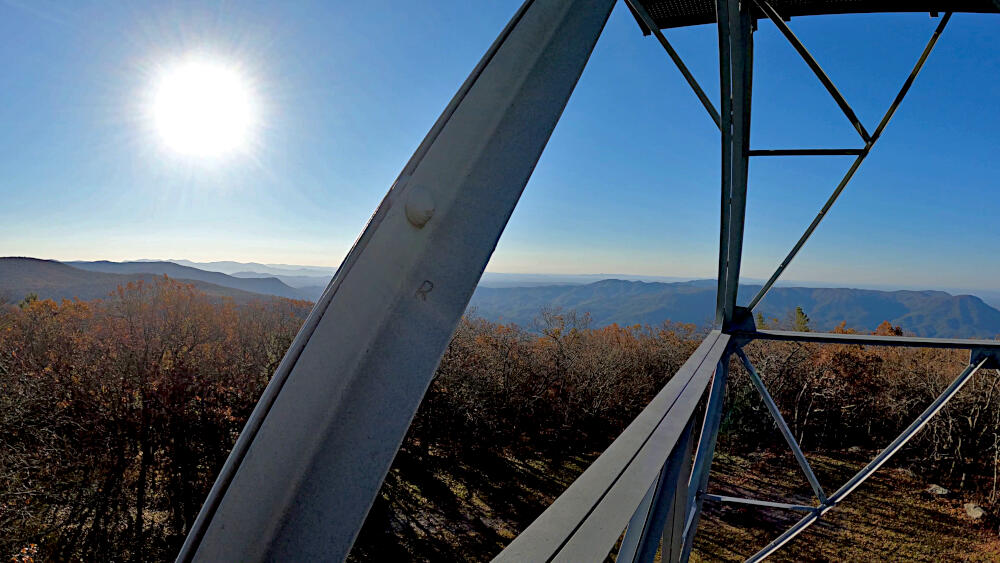
Despite the falling of the leaves, a broad view of the surrounding areas is still not possible and a climb of the tower is necessary to get the view, that I came for.

Unfortunately, many of the cabins at the top of these towers are locked and inaccessible to prevent vandalism. So is this one, yet climbing these steps as high as I can, an impressive 360° view of the landscape below, awaits me and is clearly the highpoint of the hiking trail.
After enjoying the views, me and Joey take a have break, to take in some calories and quench our thirst.
The way down means to retrace our steps on the access road for a short while and then continue on a more conventional hiking trail, through a thick layer of leaves, that cover every part of this forest floor.
Midway back to the van, the trail leads us past a picturesque beaver pond. I couldn’t find any beaver activity, but enjoyed this quiet setting and some of the changing colors. And as usual, nobody was around, but the two of us.
The road in, was long and steep(ish). So was getting down to the valley. But several great views made it all worth it.
Fall Branch Falls
Only a short trail leads to these, which must be even more impressive during spring, when the water is likely more prominent.

What ruins the whole experience here, is a nearby glamping (luxury tent camping) area, located on the other side of the falls.
The constant noise of starting generators and the large platforms, built on the side of the hill, impact the whole experience quite negatively.
Toccoa River Swinging Bridge
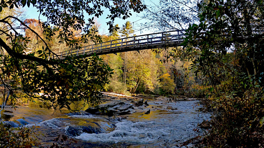
This 260ft (79m) foot bridge is part of the Duncan Ridge Trail, yet can be easily accessed on foot or by car, over a 3 mile forest road.

There was another family here, when I visited, but I have to assume that during the summer season, this will be a family destination.
The bridge is a bit wobbly, which adds to the experience. You’ll get some wonderful views of the river and I spent some time, down at the river, to relax and charge up my (personal) batteries.
Locations
- Grassy Mountain TH ➜ 34.8557, -84.6579
- Grassy Mountain Lookout Tower ➜ 34.8619, -84.6698
- Fall Branch Falls TH ➜ 34.7840, -84.3021
- Toccoa River Swinging Bridge ➜ 34.7368, -84.1672


